
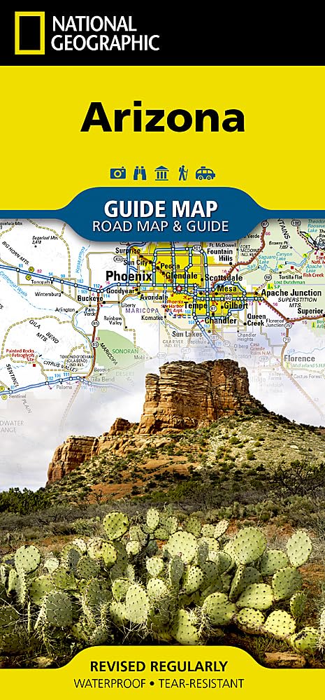
Arizona (National Geographic Guide Map)
B**B
Possibly the finest road atlases in the world.
Far and away the best road atlases in existence.I travel on backroads all over the US, and as a result I'm forced to use the Delorme in the east, where Benchmarks aren't available. Every time I look at one of the Delormes, I am nagged by a terrible longing for the Benchmark.Also, the Benchmarks contain far more detail. On the Delormes, most of the smaller backroads aren't labeled. On the Benchmark they are. Plus, it is an infinitely more beautifully example of cartography.I have nothing but praise for the Benchmark series. They're in a class of their own.
M**H
Fantastic map books.
I have several Benchmark maps and they’re second to none. We love back country exploring and rely on them for getting us around. The detail is great, considering scale, most 2 track roads appear, tons of landmarks and attractions identified and good thick pages. Way better than DeLorme in my opinion. I don’t have GPS, I just use these books. I believe them to accurate and up to date at the time of printing.
S**T
Better Than Any Folding Map!
I have purchased both the Washington and Oregon Benchmark Road & Recreation Atlas, and now the Arizona Map/Atlas. These are indispensable if you are going to new places that are off an Interstate Highway. The level of detail is perfect for any outdoors person. Shown are virtually every public campground, forest road, river, stream, and boat launch, and even towns with populations of 50 and less. The editors thought the atlas through so that ANYONE can use it immediately upon receipt. I will never go back to folding maps. An excellent atlas!
A**E
Best AZ atlas, but a step backward.
This is still the best road atlas available for Arizona, but in some respects it is inferior to the previous editions. Before, there were two complete series of map sheets covering the state, one "Landscape Maps", and one "Public Lands Maps". The latter is very helpful in showing whether you are Federal, Indian, State, or Private land, even in checkerboarded sections. The new edition has only a single series of maps, more like the old Landscape than the Public Lands maps. Ownership for big areas is shown (Nat. Forest, Park, etc.) but not small areas of state or private land. The is really retrograde. However, the new maps are of a larger scale (1:285K vs 1:400K), so they preserve all the place-name detail from the previous editions.All that said, it is the best Arizona atlas available. The DeLorme is less legible and does not have the generous overlap from page to page. This in itself is a deal killer for the DeLorme, I think.
L**N
Arizona Map
It was a great guide, while on our Vacay!!
C**N
Great purchase!
Very convenient and helpful
P**B
They are most useful for their detailed maps
The Benchmark guides are a standard part of my travel library for camping trips. They are most useful for their detailed maps, but they also have basic information on things to see and do. Not terribly comprehensive but useful if you don't have a better resource.
A**N
Most useful map book for traveling off the main roads in AZ
This is an updated version for Arizona with the usual very good Benchmark quality. It's still reasonably priced and worth purchasing if you like to travel off road and see the terrain. The publication is easy to read. Another good job for Benchmark.
W**E
Arizona
Superbe carte. précise pour les endroits où je pourrais aller, enfin quand la situation sanitaire s'apaisera suffisamment.
G**P
Typical NG Quality
This map is almost all you need to carry for AZ road trip planning and route-finding.
A**W
Did the job
Ideal. Reasonable scale with points of interest marked on. It’s a decent visitors map,
N**.
Referenz
Die Benchmark-Atlanten haben einige Vorteile gegenüber denen von Delorme, vor allem hinsichtlich der Übersicht. So gibt es vor dem Teil mit "topographischen" Karten noch einen mir Freizeitkarten in kleinerem Maßstab. Die Detailkarten selbst sind nach meinen Erfahrungen gleichwertig (für Fehlerfreiheit kann keiner garantieren, vor allem nicht bei den unbefestigten Straßen, und den Straßenzustand kann man in einem Papieratlas auch nicht automatisch aktualisieren.)Klare Empfehlung, wenn man auf Papierkarten steht - Ja, man kommt auch mit dem Navi von A nach B, aber mit einem Atlas macht man halt noch die eine oder andere Entdeckung mehr.
S**T
Five Stars
très satisfait
Trustpilot
1 week ago
2 months ago