
Desert Online General Trading LLC
Dubai, United Arab Emirates
Desert Online General Trading LLC
Dubai, United Arab Emirates


🚀 Elevate Your Mapping Game!
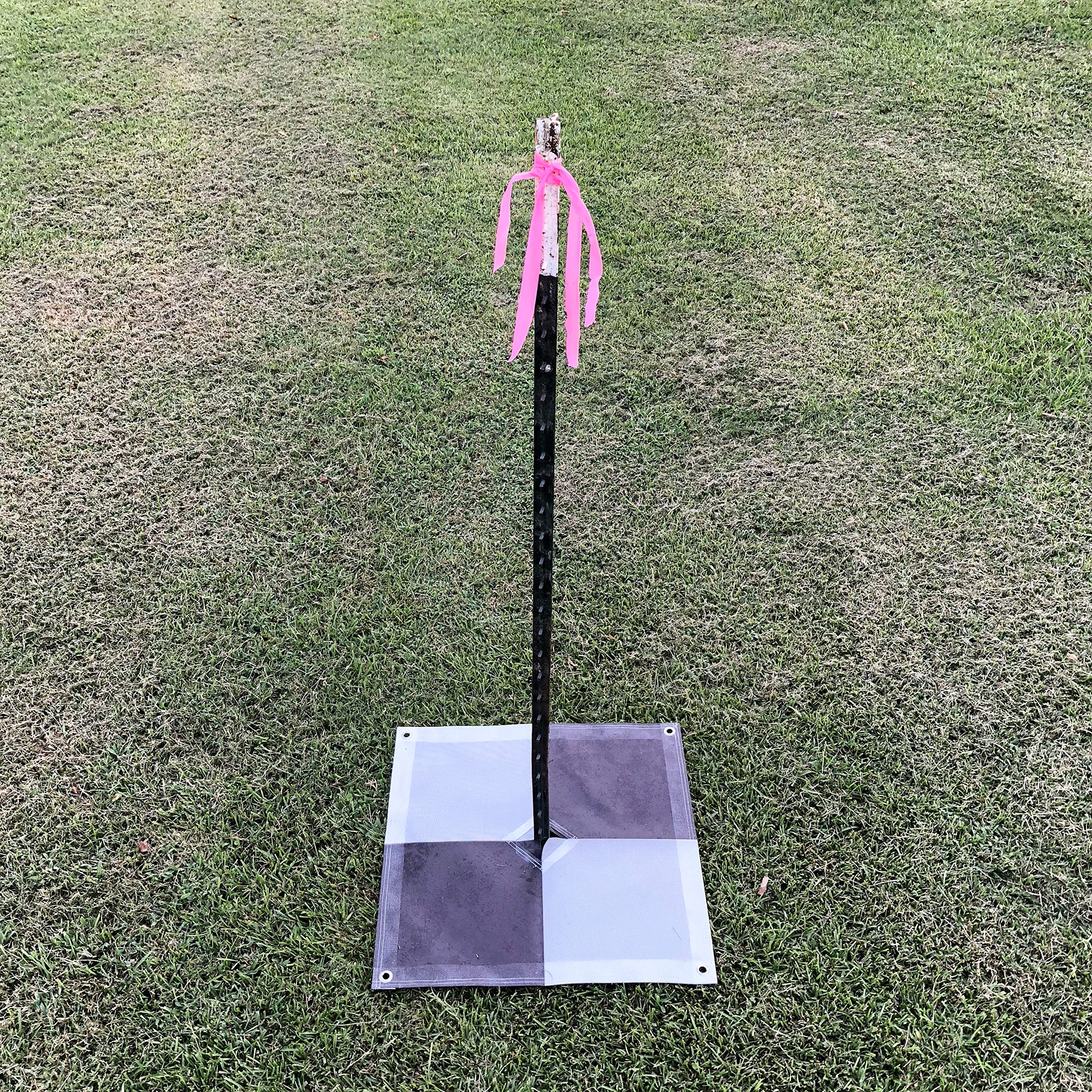
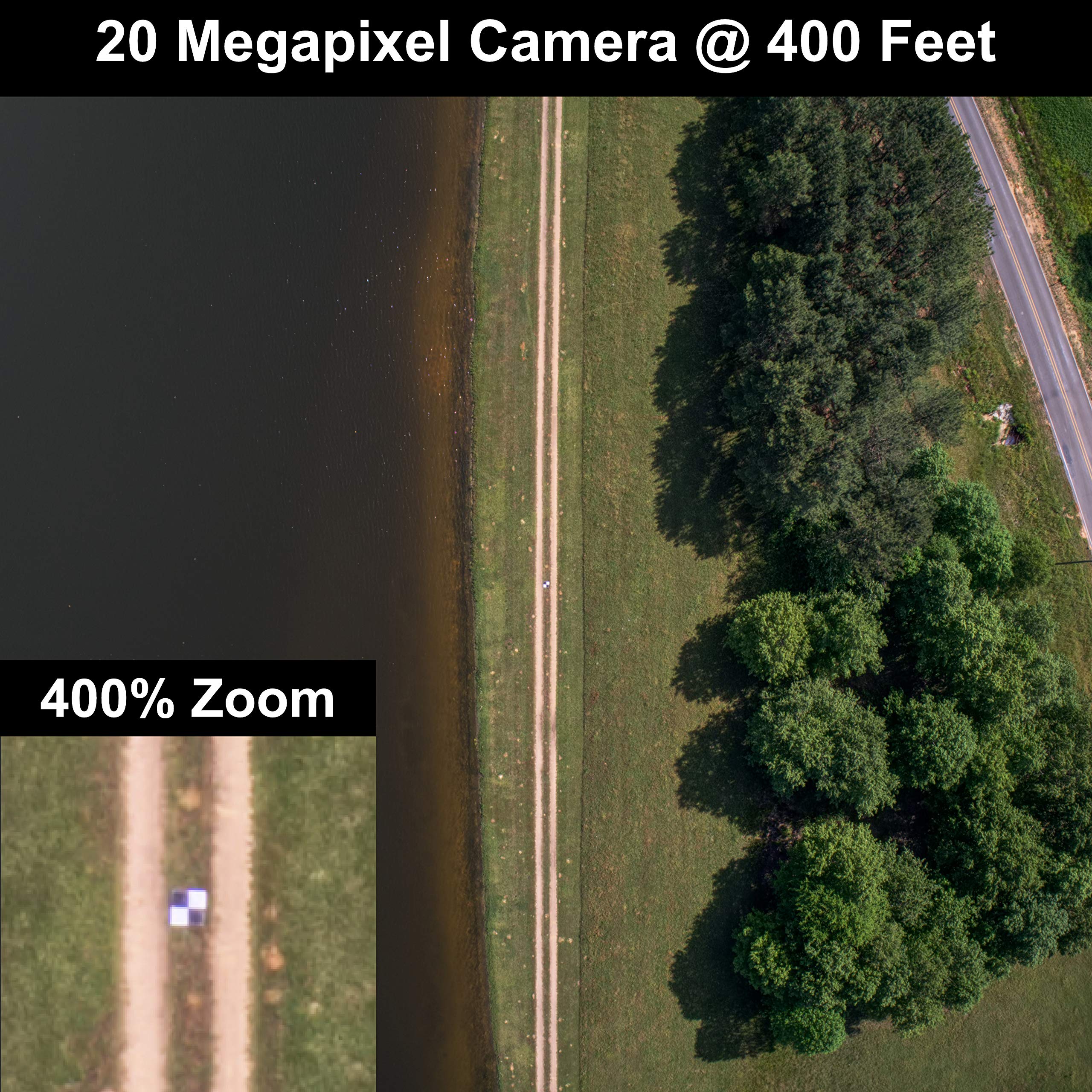
The Sky High Bull's-Eye Drone Ground Control Point (GCP) is a set of six 24"x24" aerial targets designed for efficient drone mapping and surveying. With features like a center passthrough for easy marker placement, lightweight weatherproof material, and compatibility with popular photogrammetry software, these GCPs ensure high accuracy and reliability in various mapping applications.
Trustpilot
1 maand geleden
3 weken geleden